
Actionable insights.
Generate value with our agriculture solutions.
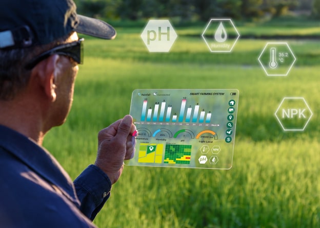
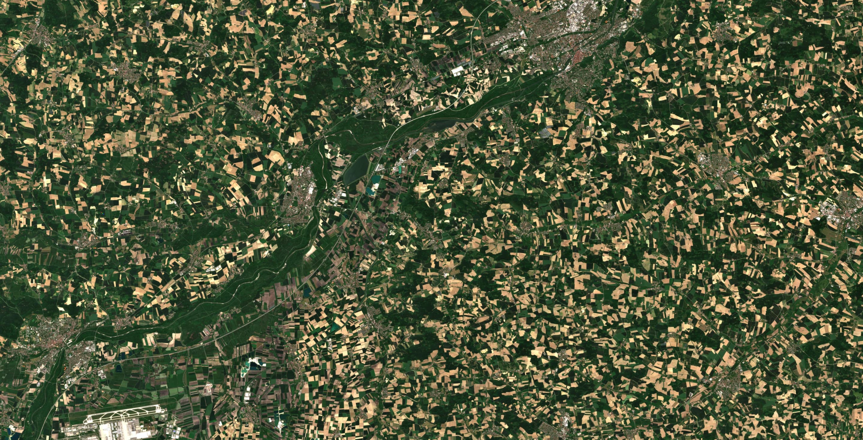
Geocledian compiles ready-to-use solutions for numerous use cases based on satellite monitoring of agricultural land: EUDR Compliance, Field Monitoring, Precision Farming, Sustainability Reporting and more.
Agriculture Solutions.
Comprehensive and ready-to-use.
Decision makers in the agricultural industry are currently facing numerous challenges. For example, how to increase sustainability, transparency and efficiency on farms and in supply chains in a transforming world.
For the specific requirements and tasks of our clients, we reliably compile ready-to-use solutions with our longstanding comprehensive expertise, including EUDR compliance and Production Monitoring, Farming software as well as Sustainability analysis and geodata management for Spatial Planning: Enhance projects, processes and IT systems using agricultural insights.


Discover more.
Learn about our industries.
Geocledian provides ready-to-use agriculture solutions for numerous industry segments. Refine concepts and strategies, make better use of your data based on satellite-driven analytics and improve your transparency.
“Working towards a more sustainable and transparent agriculture with traceability from farm to fork is a challenge. Geocledian provides ready-to-use solutions and compiles custom-fit services for numerous industries and, with AgKnowledge, has a comprehensive crop monitoring platform that offers added value to its customers.”
Dr. Florian Schlenz, COO


Get in touch.
We’re here to help.
Feel free to reach out to us if you have any further
questions or inquiries.