We make you ready for EUDR Compliance!
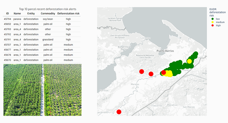
EUDR Check
With our analytical product we offer
-
detailed deforestation risk assessment
-
auditable information at plot level
-
assistance in implementing EUDR reporting processes
-
API based for easy integration

Join our webinar (25 July 2024)!
Register for our Webinar EUDR Check - Verify Deforestation-free Products with Geodata (25 July 2024, 2:00-2:45 PM, CEST, in English) and get a step-by-step guide on how to handle your geodata. Read more.
The Webinar includes a Q&A session at the end.

Sustainability Certification & ESG Reporting
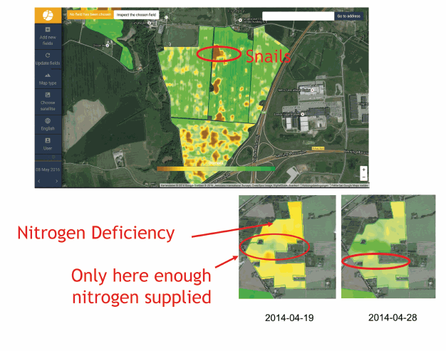
Our satellite based crop mapping and monitoring forms a reliable basis for measuring and monitoring Sustainability KPIs at large scale. Our automated services comprise
-
the measurement of environmental sustainability KPIs
-
the identification of compliance violations against sustainability regulations
-
checking all field locations against Key Biodiversity Areas / other protected areas
-
field-level-checking of Good Agricultural Practices
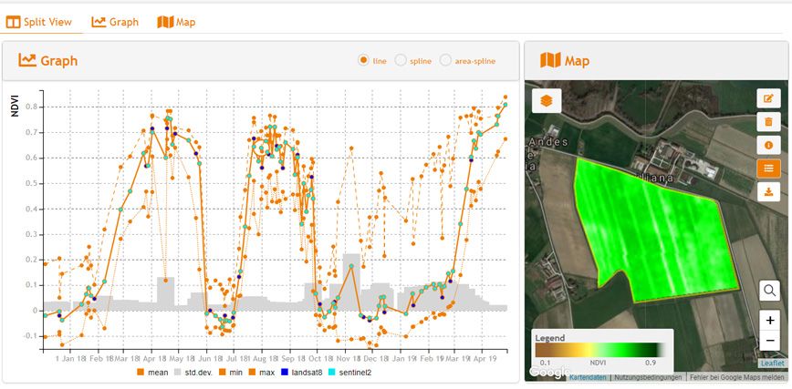
Production Monitoring
Our production monitor for field crops gives a day to day update of the in-field crop production. It is especially useful for contract farming or concession areas. It is a ready to use solution for the food and non-food industry. You will get an accurate analysis of
-
crop status and crop performance
-
harvest activities
-
anomalies ...

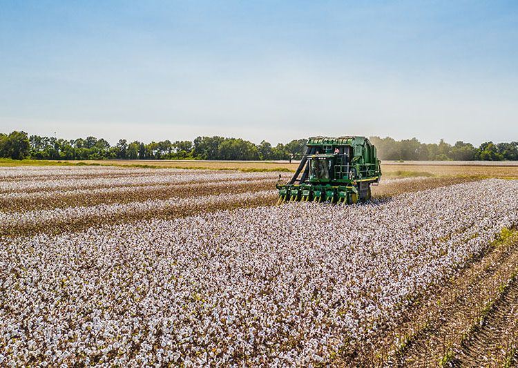
Cotton-specific products
As part of our ESA Greener Cotton project, we are developing cotton-specific products, supporting cultivation and certification of sustainable cotton:
-
providing risk assessments to check for sustainability requirements compliance
-
supporting extension services (field advisory) to implement standards and improve production
Geocledian was participating at Agritechnica 2023!
Find here more info about our take away from the world's largest agricultural trade fair!
Be always up to date!
Subscribe to our newsletter and get the latest information on satellite based agricultural monitoring by Geocledian.
Subscribe
You want the latest info right away? Here you can have a look at our recent newsletter.

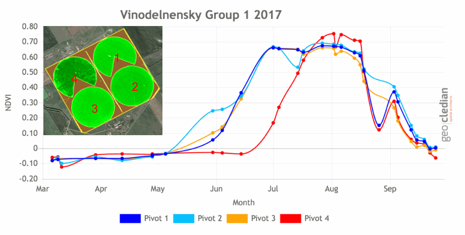
Farm Management & Portfolio Analysis
-
Crop performance
-
Anomaly detection
-
Crop inventory
Subsidies Management
Supporting governmental controls (e.g. IACS systems) in realtime using AI and other techniques.
Smallholder Support
Enabling support for smallholders by creating transparency.
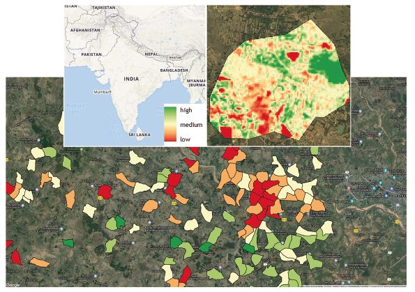
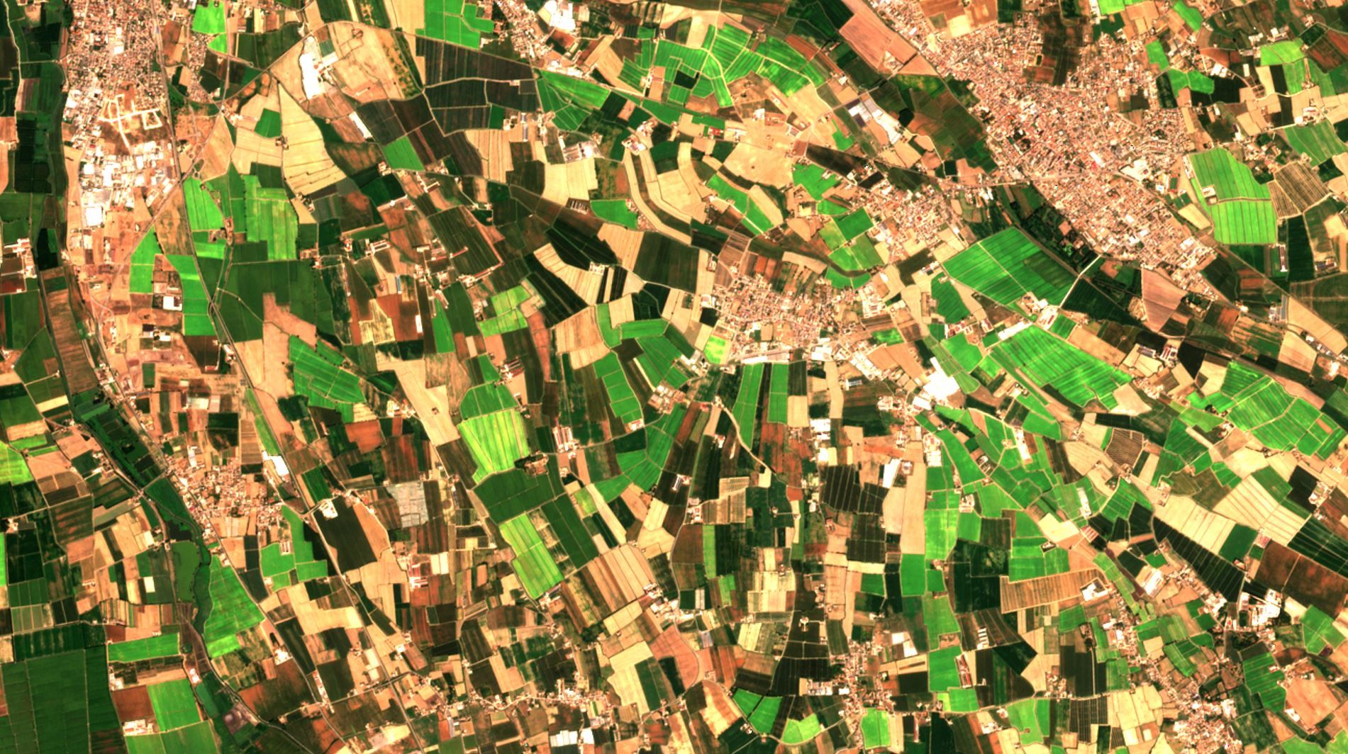
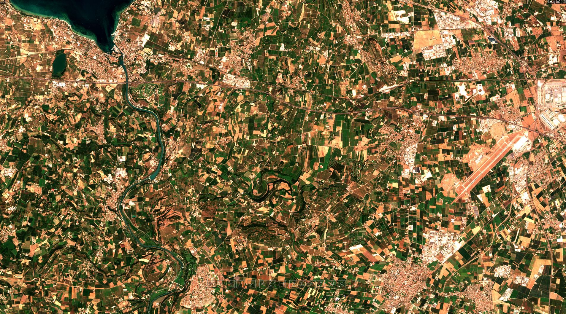
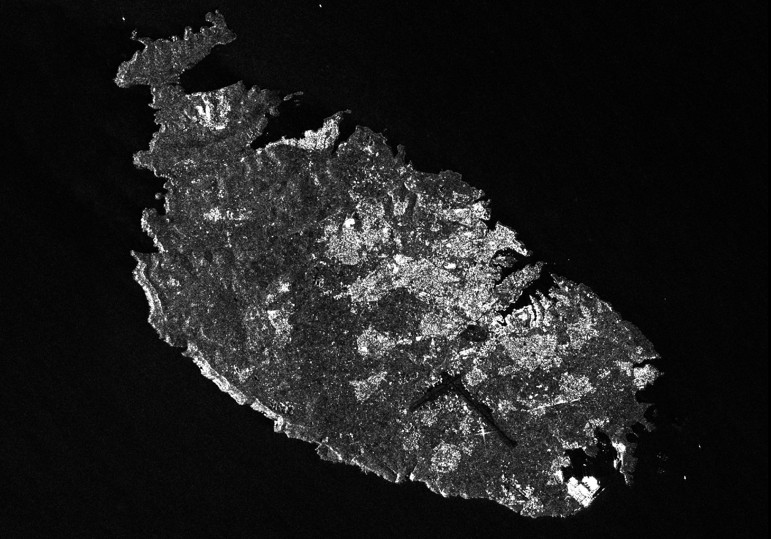
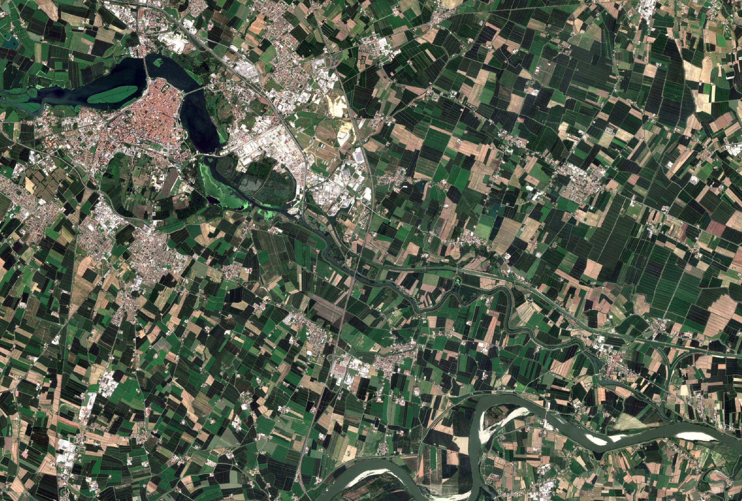
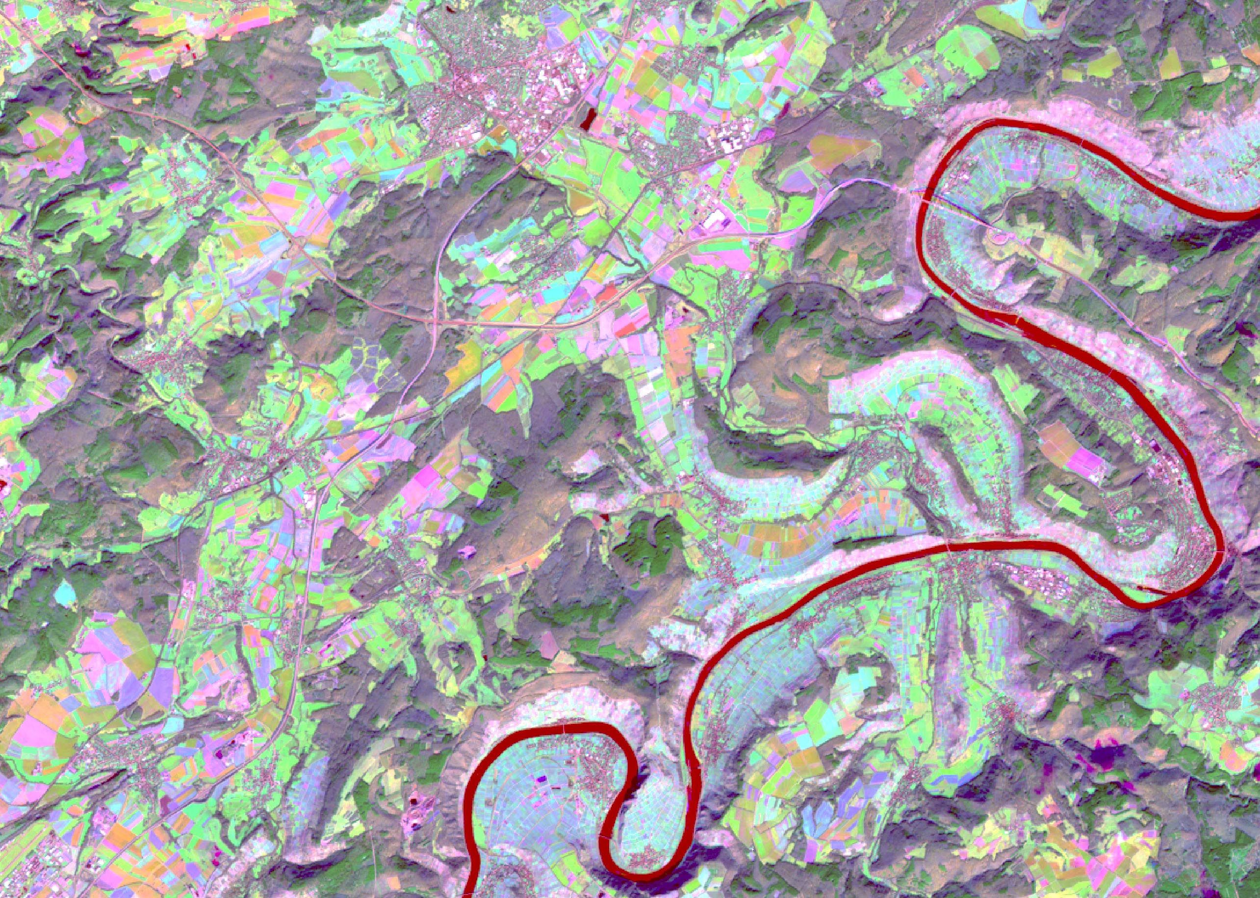
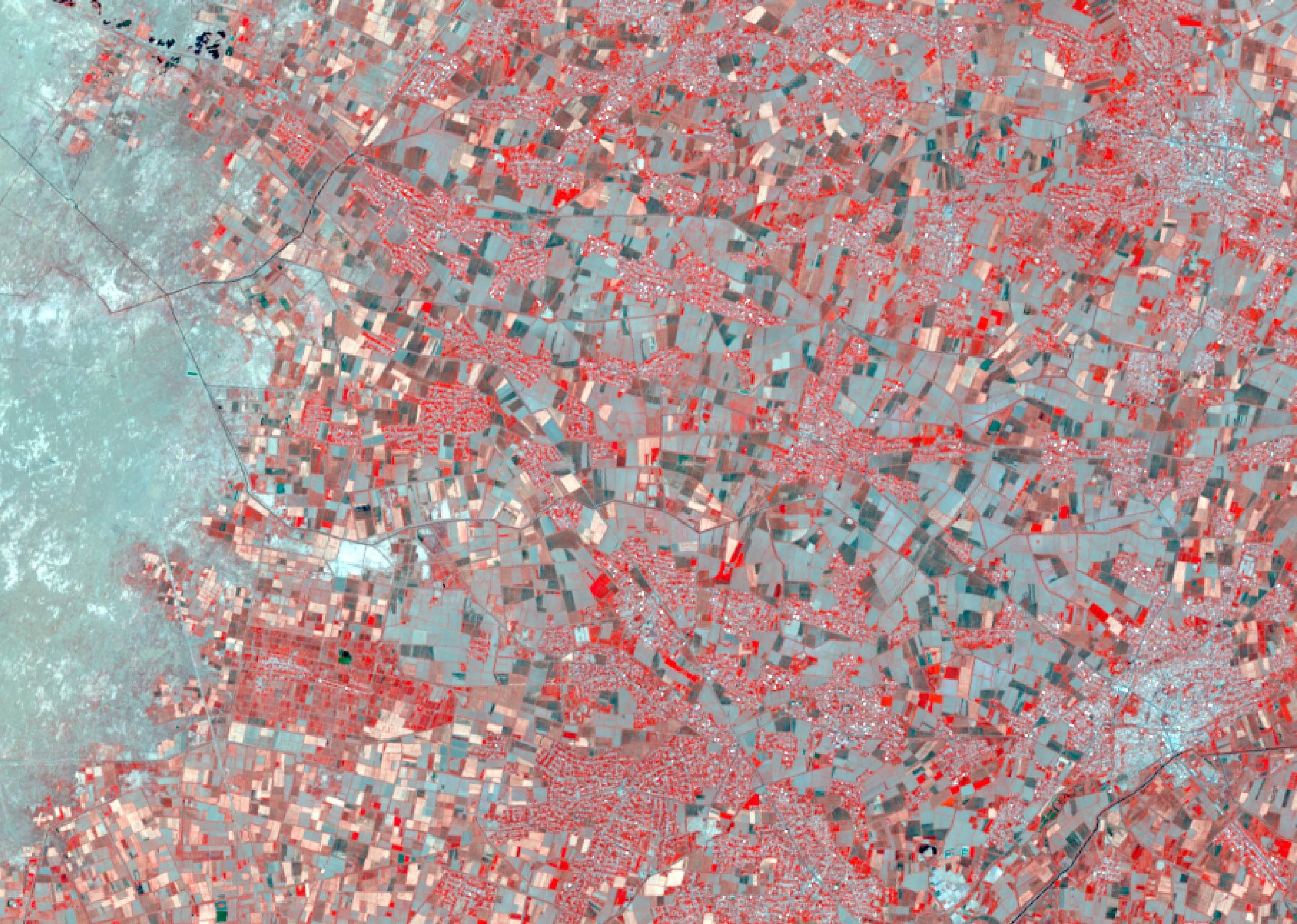
Image source: Copernicus Sentinel data 2019


Image source: Copernicus Sentinel data 2019